


The Great Belt is the strait between Denmark’s two main islands, Zealand and Funen. I completed a wonderful marathon in excellent weather on 20th June 2010 within sight of this splendid stretch of water. The race started in the city of Slagelse, passing through three patches of woodland and along three beaches before finishing in the friendly town of Skælskør.
Run for the first time in 2007, the marathon is organised jointly by three running/athletics clubs: Korsør Atletik og Motion (Korsør Athletics and Exercise Club), Slagelse Motionsklub (Slagelse Exercise Club) and Skælskør Løbeklub (Skælskør Running Club).
I ran with one of my neighbours, who was running his first ever marathon. It was Midsummer, one of the most delightful times of the year with light all day long.
We started on the square in the middle of Slagelse and ran on asphalt out of town to the village of Slots Bjergby where, at a height of 82 metres above sea level, there was a fabulous view of The Great Belt Bridge. From this point, the route took us along a meandering main road with fields on both sides until we reached right down to the Great Belt. We then continued along the water’s edge and for a while on asphalt. The route then turned inland, still with fields on both sides. We ran through the villages of Frølunde and Svenstrup before turning down a lane and then onto a path in the direction of Korsør.

After this, the route went through more rolling countryside with small hills, and after a while we arrived in Korsør, which was almost half way and turned into Korsør town park. On the way over a hill, we passed the 21.1-kilometre mark, where the half-marathon runners had started a while before we got there.
From this place, we continued along the gravel paths of Korsør town park, passing the Halsskov Bridge across the entrance to Korsør harbour. We then ran through the town to Ceres Strand (Ceres Beach). We ran close to the water’s edge along gravel paths and then along Troldstien (Trolls’ Path) to Korsør Woods. We had a constant panoramic view of the Great Belt.
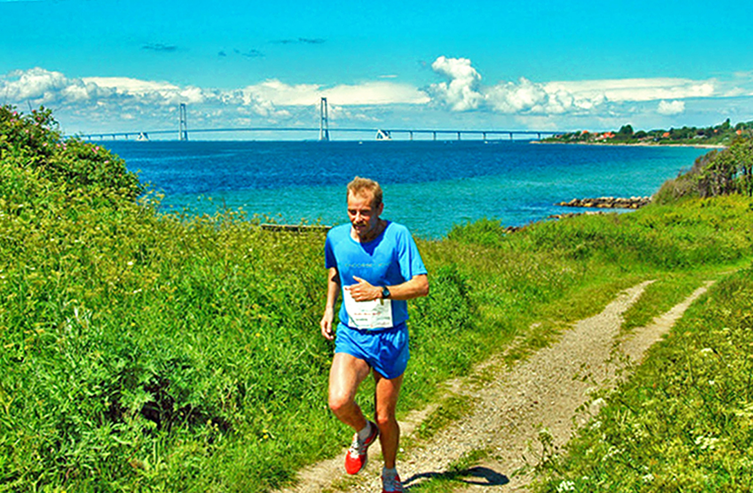
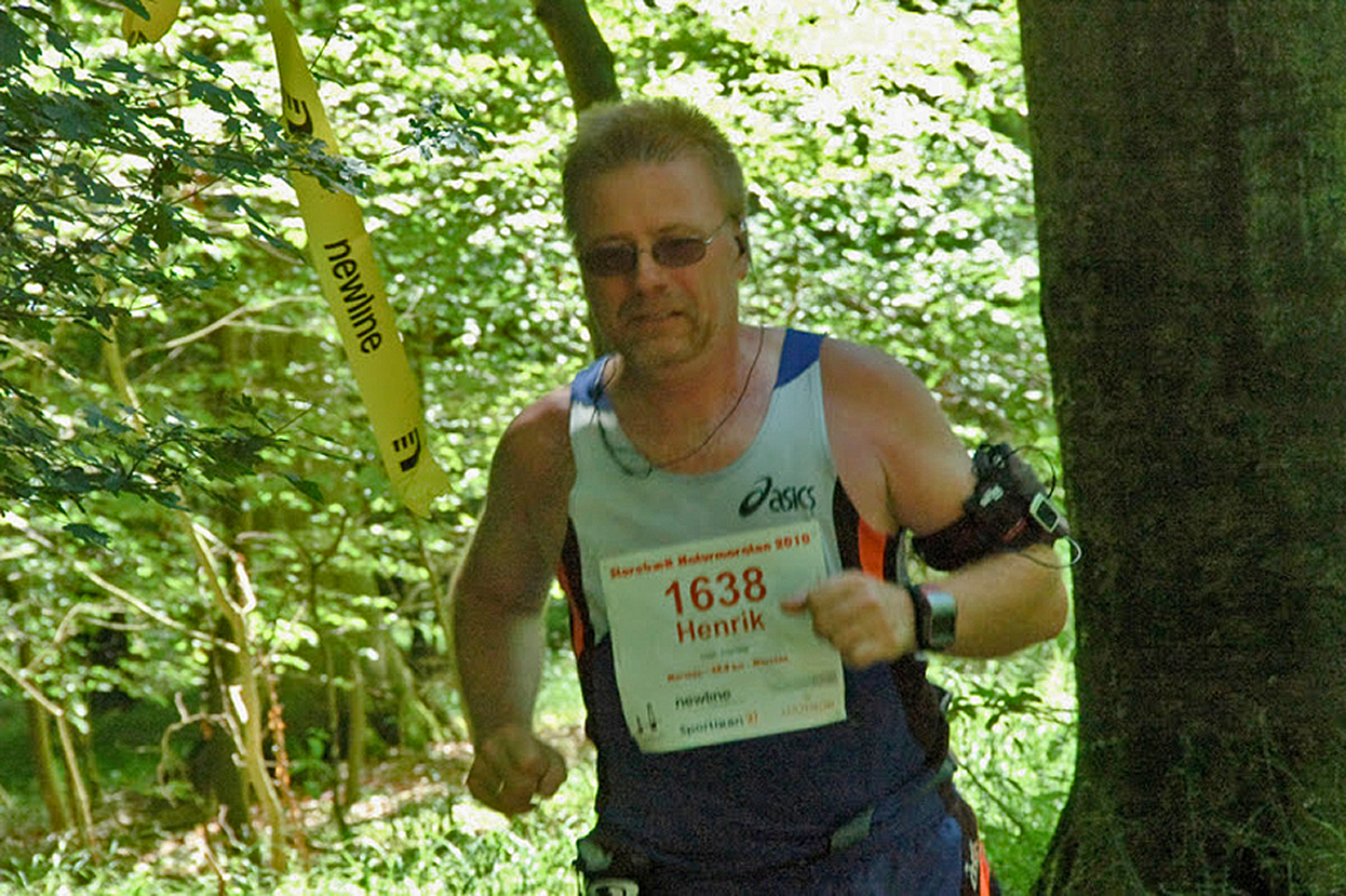
We ran for a kilometre and a half through the woods with beech trees, burial mounds and ancient oaks. We then continued down past the water up onto an asphalt road, passing Klarskovgaard Conference Centre and further through Klarskov along woodland roads and gravel paths before hitting the main road once again. The route meandered through fields and avenues with small hills, with an occasional fantastic view of the Great Belt and Skælskør in the distance. At the Espe Estate, we were given strawberries from the local fields.
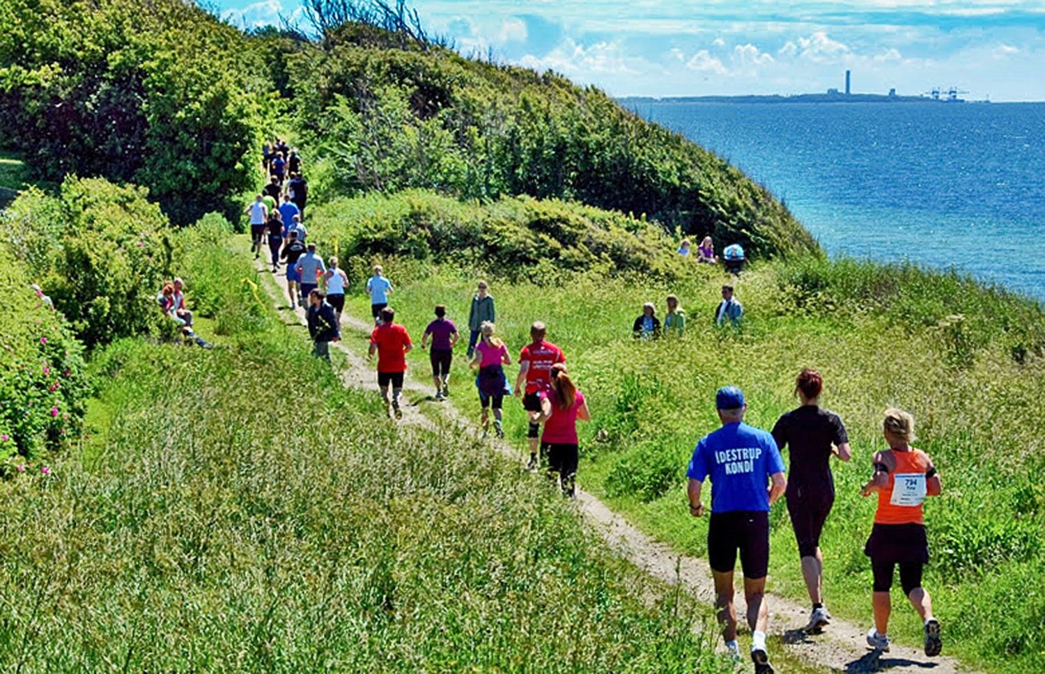
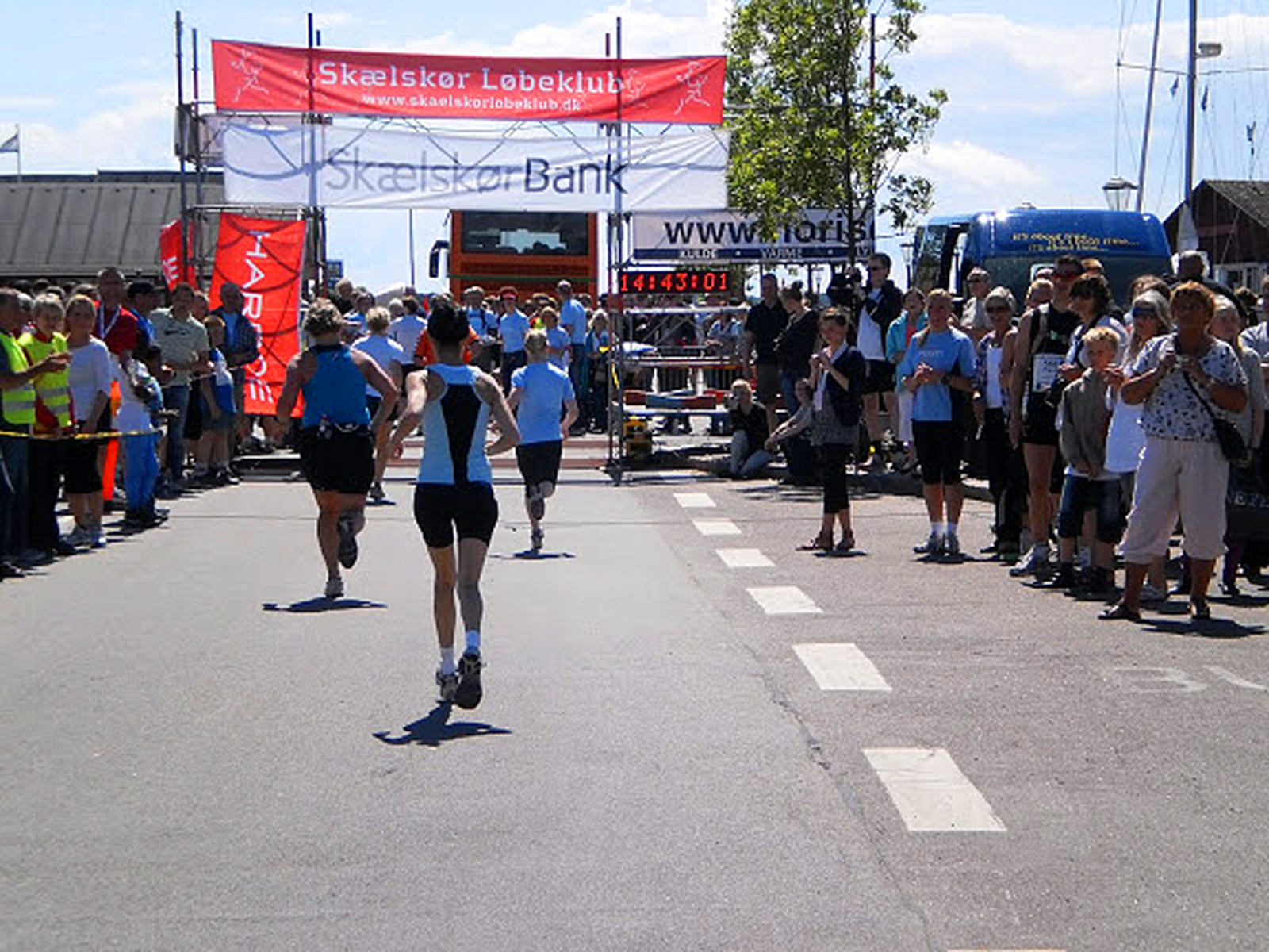
The route now took us into Egerup Woods and along gravel paths for the next couple of kilometres, after which we again turned towards the water, running for a while with pastures and meadows on one side and Kobæk Strand (Kobæk Beach) on the other. In one place, the path was sanded over, but we were running almost at the water’s edge at this stage. The next place we arrived at was Kobæk, running for a little while on asphalt and then back onto gravel. Soon after that, we had a view of the beautiful inlet, Skælskør Fjord, before running along a gravel path across the final challenge, Møllebakken (Mill Hill), with an ascent of some 20 metres. After this, it was downhill all the way to Skælskør harbour and the finish.
At some stage during the final part of the run, my neighbour got so tired that he couldn’t keep up with me, and at one of the water stations I asked them to give him an encouraging greeting from me. When my neighbour turned up and was given his greeting, he took it as a provocation, which gave him renewed energy. He started running again and passed me as I was walking, subsequently to receive me at the finishing line.
Buy the book here.
